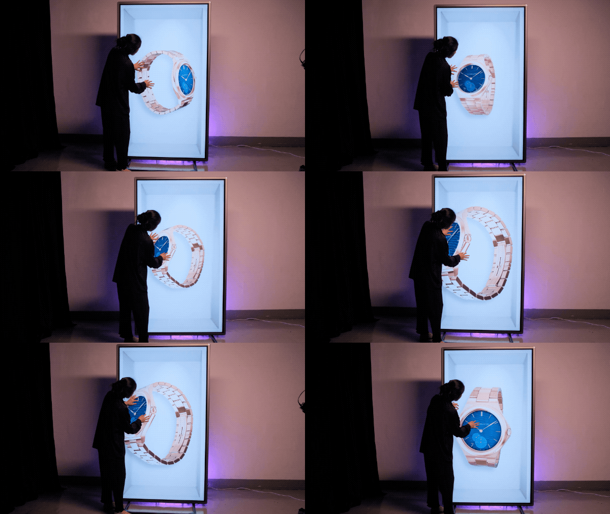
If you already cut video in tools like Premiere Pro, After Effects, DaVinci Resolve, or Final Cut, you’re closer to holograms than you think.
Hololuminescent Displays (HLDs) are designed to work with traditional video workflows, not replace them. You’re still working with frames, timelines, and exports—only now
